Here's What We Dug Up:

Exciting news at The Woodlands—we made an archaeological breakthrough!

Kim sorts and washes artifacts found during the dig. Photo: Ryan Collerd

Kim sorts and washes artifacts found during the dig. Photo: Ryan Collerd

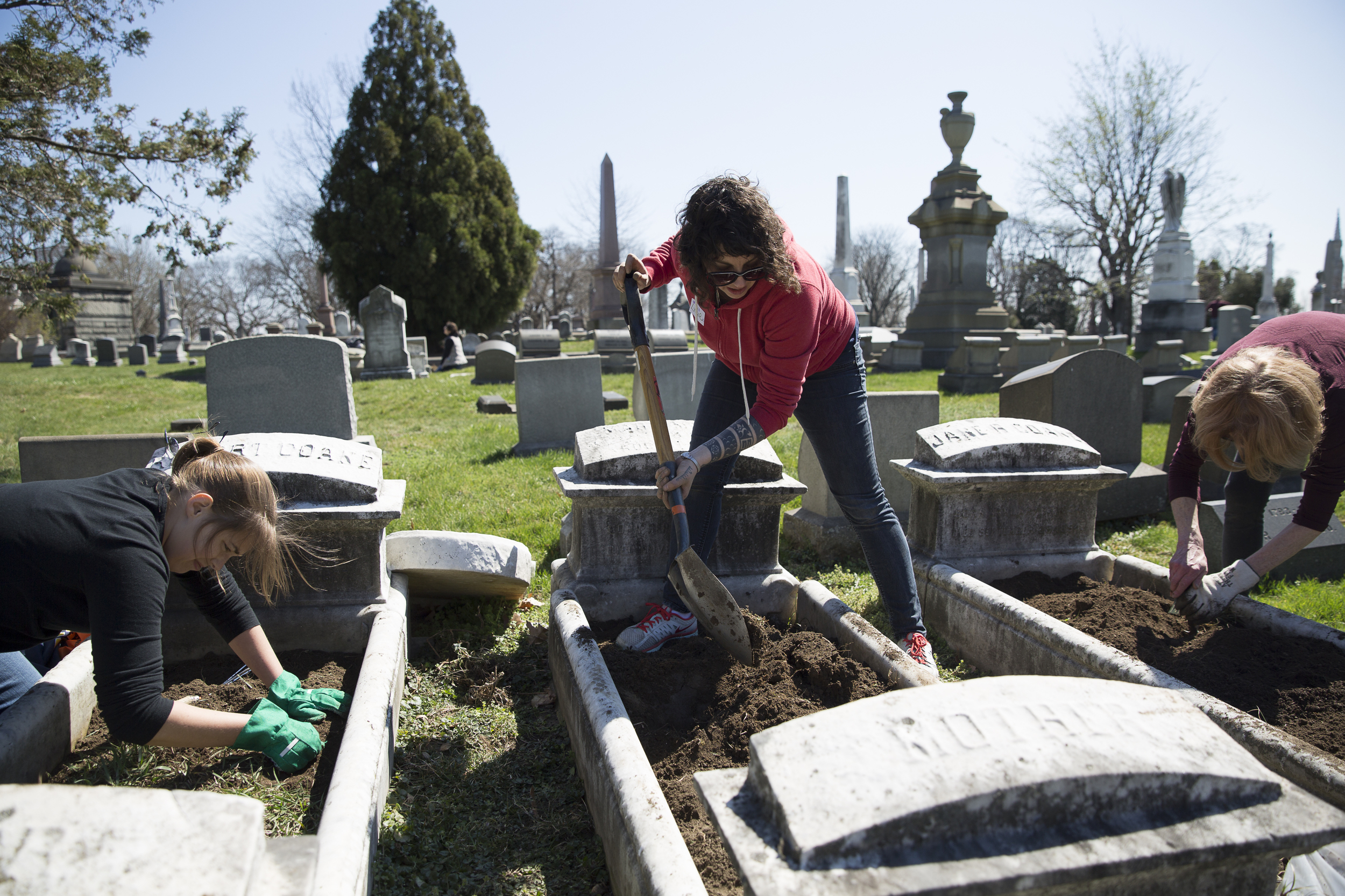
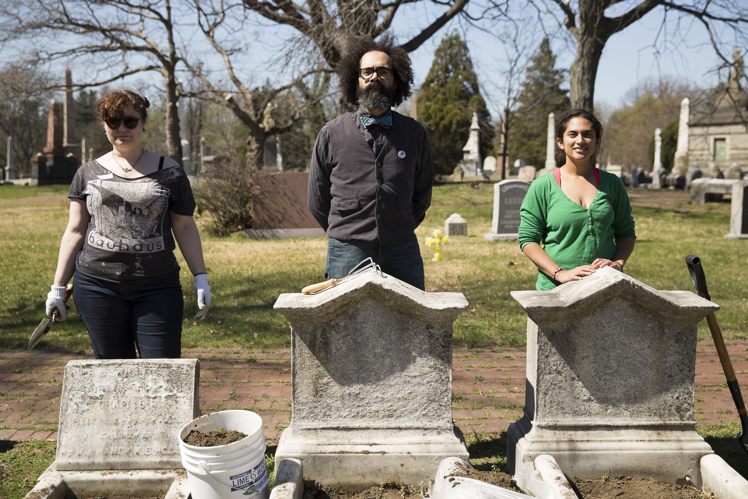
If you’ve walked through the grounds recently, you may have noticed we’ve been doing some digging around the Mansion. Thanks to a grant from the Pennsylvania Historical and Museum Commission, The Woodlands has partnered with AECOM to conduct a series of archaeological digs between the Mansion, the Stable and the (no longer extant) greenhouse hoping to locate a servant pathway that once connected them.  

The path was described in detail and sketched by Charles Drayton after he visited The Woodlands in 1806, but was filled in at some point once the Cemetery Company took over the grounds. Drayton’s sketch is one of the only known visual records of the Hamilton-era landscape and the only map that explicitly illustrates the path between the Mansion and the Stable. According to Drayton’s description, the path was sunken below grade and concealed by a screen of shrubs and trees, reflecting William Hamilton’s interest in choreographing and concealing movement (particularly servant movement) around the Mansion and the landscape. The pathway extended from the west end of the cryptoporticus (the subterranean passageway also utilized by servants that spans the north side of the Mansion) slowly rising upwards and expanding as it reached the Stable and greenhouse. Hamilton’s design ensured that visitors arriving by carriage at the north side of the Mansion enjoyed an uninterrupted view of the landscape.

Earlier archaeology work undertaken in 2009, located what we believe to be part of the foundation of William Hamilton’s greenhouse. The greenhouse is also included on historic maps dating into the Cemetery Company Era in the mid-19th century. Hamilton’s sizeable greenhouse would have extended west of the Stable, in the general vicinity of the walled carriage turnaround, which was added later by the Cemetery Company.

Sketch of the path made by Charles Drayton which accompanied the description in his diary entry on November 2, 1806 (dotted line indicates the location of the path).

Sketch of the path made by Charles Drayton which accompanied the description in his diary entry on November 2, 1806 (dotted line indicates the location of the path).

A Site Plan for The Woodlands Cemetery from 1846 depicts the location of Hamilton's greenhouse relative to the Mansion and Stable. 

A Site Plan for The Woodlands Cemetery from 1846 depicts the location of Hamilton's greenhouse relative to the Mansion and Stable. 

To estimate the precise location of the path, the archaeology team first projected the Drayton sketch and other historic maps onto current aerial imagery. Once a rough location of the path was determined, they further analyzed the area using ground penetrating radar. Based on findings, three dig locations were chosen along the projected path.

Photos: Ryan Collerd

Photos: Ryan Collerd

Less than an hour into the first dig and approximately three feet below the current grade, the team hit two stone walls that we later learned enclosed the brick-paved walkway. The rough schist walls weren’t immediately identifiable as part of the path system, but continued excavation eventually revealed the paved brick path about three feet farther down.

An intact section of the path showed smooth and worn 18th century brick laid in a herringbone pattern. It also appeared to rise at a gentle slope towards the Stable, matching the verbal account written by Charles Drayton in 1806!  

The first excavation trench, facing southeast towards the mansion, shows rough schist walls flanking the subterranean path. 

The first excavation trench, facing southeast towards the mansion, shows rough schist walls flanking the subterranean path. 

View of the walls and path from above the pit, facing west. 

View of the walls and path from above the pit, facing west. 

Detail of 18th century herringbone brick path.

Detail of 18th century herringbone brick path.

In addition to locating the path, the dig produced a number of artifacts including 18th century delft pottery, Chinese porcelain, redware, creamware, oyster shells, and silver utensils and accessories. The wealth of artifacts in this small area only further confirms the fact that significant, untapped archaeological resources remain on site.

Artifacts found during excavation on display at The Woodlands annual benefit. Pictured from top: redware, 18th century creamware, and Chinese export porcelain. Photo: Ryan Collerd

Artifacts found during excavation on display at The Woodlands annual benefit. Pictured from top: redware, 18th century creamware, and Chinese export porcelain. Photo: Ryan Collerd

Piece of 18th century delft featuring a cherub's head, found during the excavation. 

Piece of 18th century delft featuring a cherub's head, found during the excavation. 

Findings from this project further enhance our understanding of the Hamilton Era, help us interpret and illustrate the connection between the Mansion and the Stable and greenhouse, and help inform future landscape decisions at The Woodlands—which we now realize will likely include more archaeology! Until then, the path will be filled back in for safekeeping. Stay tuned for more information as we continue to analyze the results.

By Starr Herr-Cardillo

Sources:

Wunsch, Aaron. “Woodlands Cemetery,” HALS No. PA-5

Drayton, Charles. Diary (photocopied transcription), 2 November 1806, Drayton Hall Coll., National Trust for Historic Preservation.

Drayton, Charles [Sketch accompanying diary entry of 2 November 1806]. Drayton Hall Coll., National Trust for Historic Preservation.  

Plan of the Woodlands Cemetery, 1846, The Woodlands Cemetery Company Collection.  


Ferdinand Vandeveer Hayden and the Invention of the National Park

Yellowstone National Park is a geologist’s paradise: the nearly three and a half thousand square miles of land include the largest volcanic system in North America, extensive geothermal activity caused by a subterranean magma chamber and the highest concentration of geysers in the world. Yet the park is also appreciated by millions of visitors each year for its sheer beauty and pristine landscape. The double appeal of Yellowstone goes all the way back to its early history when a team of scientists and artists were dispatched to explore the yet-uncharted region. The combination of their academic and creative accomplishments was instrumental in the establishment of Yellowstone as the first national park of the United States.

A photograph of the Summit of Jupiter Terraces taken by William H. Jackson. Paintings and photographs of Yellowstone were crucial to its establishment as a national park.

A photograph of the Summit of Jupiter Terraces taken by William H. Jackson. Paintings and photographs of Yellowstone were crucial to its establishment as a national park.

Ferdinand Hayden, the leader of an 1871 surveying expedition to the Yellowstone area. 

Ferdinand Hayden, the leader of an 1871 surveying expedition to the Yellowstone area. 

In the years following the Civil War, the region that is today Yellowstone was a mystery to most Americans. Could accounts of hot water spouting from the ground or rumblings underfoot possibly be credible? And more importantly, was the land suitable for agricultural development? In 1871, the General Land Office turned to Ferdinand Vandeveer Hayden, an expert geologist and professor at the University of Pennsylvania (who is now buried at The Woodlands Cemetery) to answer these questions. Hayden put together a team of over thirty men, wisely including Civil War photographer William H. Jackson and esteemed painter Thomas Moran, and set off on what would be the largest of four “Great Surveys” of the American West.

After a long cross-country voyage, the explorers arrived in Yellowstone and were amazed with what they found. While the paleontologists, geophysicists and lithologists in the group set about collecting geological data and rock samples, Jackson and Moran visually recorded the natural landscape. By Moran’s account, he “took great pains with delineation of the form and texture of the rocks” which he “realized to the farthest point I could carry them”. This creative approach is exhibited in The Grand Canyon of the Yellowstone which Moran completed in 1872. The dramatic oil painting highlights the formations and stratifications of the rock with great accuracy while capturing, as Moran hoped to, “the character of that region.”

In Moran's The Grand Canyon of the Yellowstone sunlight falls on the park's spectacular rock formations, which are depicted with geological accuracy.

In Moran's The Grand Canyon of the Yellowstone sunlight falls on the park's spectacular rock formations, which are depicted with geological accuracy.

When Ferdinand Hayden returned to the East from his expedition, he had a vision for Yellowstone that was unprecedented amid the pioneer mentality of the 19th century United States. Hayden wanted Yellowstone to remain undeveloped, as a natural space available to generations of future Americans. Along with the proposal he submitted to Congress, Hayden included Jackson’s photographs and some of Moran’s watercolors. These beautiful visual depictions of the region were crucial in persuading congressmen (most of whom had not seen for themselves the magnificence of the West) to establish Yellowstone as “a public park or pleasuring-ground for the benefit and enjoyment of the people” in 1872.

Ferdinand Vandeveer Hayden is buried at The Woodlands Cemetery in Section H, Lot 301. 

Ferdinand Vandeveer Hayden is buried at The Woodlands Cemetery in Section H, Lot 301. 

Thanks to the enthusiasm and determination that Hayden brought to his lobbying for Yellowstone National Park, this model became broadly accepted both in the United States and around the world. Over the course of the late nineteenth and early twentieth centuries, thirty-five natural places within the U.S. were granted this status before the National Park Service was formally signed into being in 1916. In honor of the bureau’s 100th birthday, this year’s Philadelphia Flower Show will celebrate the beauty of our national parks. Although Philadelphia and Yellowstone may not appear to have much in common, the early history of the park was determined by a resident of this city. If you’re visiting for the Flower Show this week, consider stopping by Penn’s Hayden Hall or The Woodlands to pay a visit to the final resting place of Ferdinand Vendeveer Hayden, the scientist behind America’s national parks.

By Rive Cadwallader


You can find more information about Hayden's expedition and the art it inspired from: 

Jackson, W. Turrentine. "The Creation of Yellowstone National Park," The Mississippi Valley Historical Review, Vol. 29, No. 2 (1942): 187-206

Wagner, Virginia L. "Geological Time in Nineteenth-Century Landscape Paintings," Winterthur Portfolio, Vol. 24, No. 2/3 (1989): 153-163


The Great Electrobat

When the Tesla Roadster was released in 2008, the car was praised as a remarkable feat of engineering that could change transportation in the 21st century. As innovative as the Roadster may have been, it was far from the first electric car to be developed. That award goes to the 1894 Electrobat and its creator, Pedro G. Salom, who is buried at The Woodlands Cemetery.

In the late nineteenth century, Pedro Salom, an electrochemical engineer, teamed up with inventor Henry G. Morris under the common goal of creating the world’s first battery-powered automobile. Both men had been involved in the electrification of urban streetcars, which eliminated the messes and hassles of animal-powered public transportation. Using the same lead-acid batteries that powered the new streetcars, Salom and Morris developed the first prototype of their electric automobile in a mere two months and patented the vehicle on August 31, 1894.

Salom and Morris in an early Electrobat (1896).

Salom and Morris in an early Electrobat (1896).

When the two inventors took their electric car out for its first test run that summer, they had to receive a special permit from City Hall. Accompanied by a police officer tasked with conducting carriages away from the automobile (which was liable to frighten horses), the car made its way down busy, cobblestoned Broad Street. The precautions taken on this first ride were called for: the first model of the Electrobat was unwieldy and unpredictable. Looking something like a cross between a Radio Flyer wagon and an equipage, the car was encumbered with a battery that weighed a full 1,600 pounds.

However, within a year, Pedro Salom and Henry Morris had refined their original model significantly. The fourth prototype of the car had a 350 pound battery, a fraction of the weight of the original, which allowed the steel wheels of the first Electrobat to be replaced with pneumatic tires. Armed with cutting-edge technology, the engineers founded the Morris and Salom Electric Wagon and Carriage Company and began promoting their invention as a modern kind of hansom cab.

An Electrobat cab, ready to navigate the bustling streets of Manhattan.

An Electrobat cab, ready to navigate the bustling streets of Manhattan.

Before long, the company had dozens of Electrobat cabs operating in New York City, and was effectively competing with horse-drawn cabs in Philadelphia and Boston as well. The addition of electric automobiles to the late nineteenth century urban environment caused quite a stir. One newspaper claimed that “no modern development is fraught with greater possibilities than the motor-propelled road vehicle.” Another acknowledged the growth of Morris and Salom's company, but maintained that "the American mechanical public at large is viewing the horseless carriage a dream of the dreamers."

Pedro Salom, the inventor of the first battery powered car, is buried at The Woodlands.

Memorial for Pedro Salom and Emma Grotjan, parents of Pedro Salom, the inventor of the first battery powered car.

Automotive technology may not be the first thing that comes to mind when considering The Woodlands but a great contributor to this field is buried in the cemetery. Long before twenty first century iterations of the electric car, Salom and his Electrobat changed the face of urban transportation and added to the Philadelphia’s list of innovations in science and engineering. 

By Rive Cadwallader


To learn more about the Electrobat, see: 

Bruce Duffie. "Charging Up the Electric Cabs." http://www.kcstudio.com/colcharging.html

Bruce Duffie. "Prologue: Preparing the way for the Columbia cars, and the formation of the Electric Vehicle Company." http://www.kcstudio.com/electrobat.html

Alexis C. Madrigal. "The Electric Taxi Company You Could Have Called in 1900." The Atlantic (March 2011). http://www.theatlantic.com/technology/archive/2011/03/the-electric-taxi-company-you-could-have-called-in-1900/72481/